Leeton and District Local Aboriginal Land Council – Boundaries
The area for which the Leeton and District Local Aboriginal Land Council has responsibility is shown on the map below and totals about 3,500 km2.
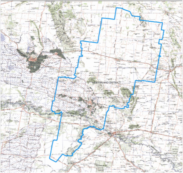
At its widest point, the distance from east to west is about 50 km and north to south, 105 km. The corresponding local government authority is Leeton Shire.